
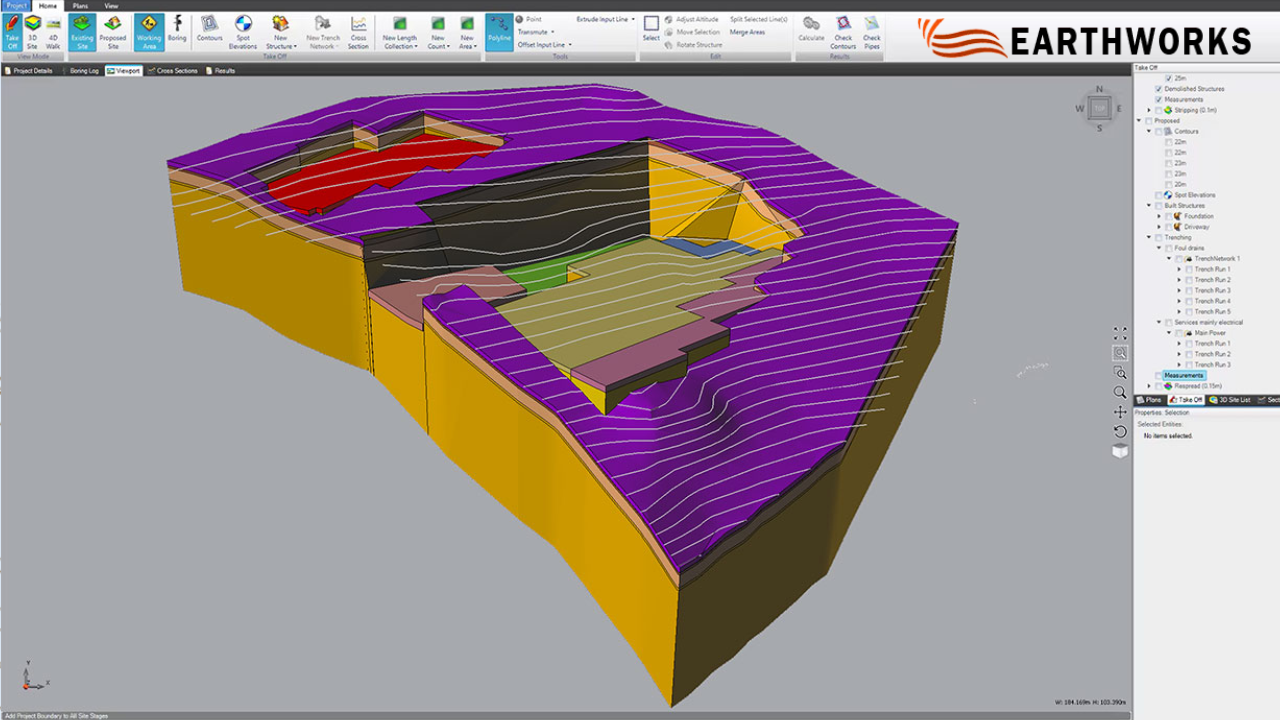
Excavation Estimating Software: 10 Factors That Affect Accuracy
By Sai Vamshi in Blog Posted August 27, 2026 Tags Excavation Estimating Software
How accurate is your excavation estimate? The final number on your bid sheet usually depends on a lot more than just pulling raw yardage off a set of site plans. Quantities, changing grades, unpredictable soil conditions, equipment choices, labor outputs, haul routes, and physical site limits all shape real costs. Using dedicated excavation estimating software can help keep those moving pieces organized, but your results will always depend on how solid your underlying assumptions are.
Checking these 10 practical factors before finalizing a proposal helps catch missing details and keeps your bidding process consistent.
1.Excavation Quantity
Calculating raw material volume is usually the baseline for any earthwork bid. Estimators pull these numbers from existing contours, proposed elevations, civil cross-sections, and digital takeoffs. Getting this starting figure wrong ripples through your whole estimate—throwing off machine hours, trucking needs, crew sizes, and overall job costs.
Keep a close eye on:
- Total cut volumes
- Required fill amounts
- Site clearing limits
- Gap between current and final elevations
- Need for imported select fill
2.Excavation Depth
Does your estimated timeline actually match how deep you need to dig?
Digging two feet down for a shallow slab works very differently than carving out a twelve-foot basement foundation. Deep excavations can change equipment requirements, cycle times, available working space, and the protective measures required for the work.
Estimates need to reflect the specific depths called out on structural drawings rather than relying on broad, flat-rate averages.
3.Existing and Proposed Grades
How wide is the gap between the current ground and finished grade?
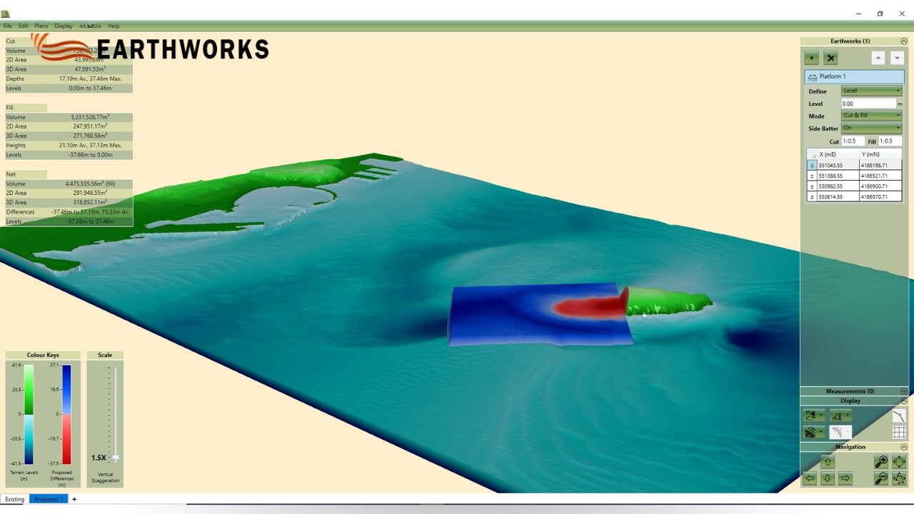
Comparing existing contours against proposed pad elevations shows where material needs to come out, go in, or shift across the site. Getting these elevation differences right is essential for balancing your cut-and-fill math.
Grade changes directly shape:
- Overall cut and fill calculations
- Volume of imported fill required
- Distance dirt travels across the jobsite
- Daily cycle times for equipment
- Final grading hours at the end of the project
4.Soil Conditions
What type of material will your equipment actually be excavating?
Subsurface conditions can affect excavation methods, equipment wear, production rates, material handling, and disposal requirements. Sandy loam may be easier to excavate, while sticky clay, wet soils, or shallow rock can affect production, material handling, and equipment requirements.
Checking geotechnical reports and soil borings early helps avoid wildly optimistic production targets.
5.Cut-and-Fill Requirements
Can excavated material be reused on-site, or will it need to be hauled away?
The balance between cut and fill radically changes job logistics. If excavated material is suitable for reuse as fill elsewhere on the property, trucking and imported material requirements may be reduced. If native soil is poor or contaminated, almost everything has to be hauled off and replaced with clean imported material.
Always evaluate:
- Designated fill zones on the site plan
- Soil suitability based on geotechnical reports
- Expected export volumes
- Required import quantities
- Soil compaction and moisture requirements
6.Material Hauling
How far are your trucks traveling, and what is waiting for them on the road?
Calculating haul costs takes more than measuring the distance to the dump site. You have to factor in bucket loading times, local traffic, highway speeds, unloading delays, truck payloads, site turning access, and landfill tip fees.
If haul-time assumptions do not reflect realistic cycle times, the estimate may understate the trucking resources and costs required for the project.
7.Equipment Selection
Are you pricing the right machinery for the actual job site?
Your equipment lineup needs to fit the dirt volume, digging depth, spatial limits, and target schedule. A large excavator may not be practical in a restricted residential site, while using undersized equipment on a large project can reduce production and extend the expected timeline.
Instead of plugging in generic machine rates, match bucket sizes, fuel burn, and cycle times directly to the task at hand.
8.Labor and Production Rates
Are your assumed daily output rates grounded in real field performance?
Production rates connect physical quantities to real-world labor costs. Your calculations need to account for crew size, operator skill, machine efficiency, weather delays, and how complex the digging actually is.
Setting overly aggressive daily production targets understates the operator hours and supervisor time needed to wrap up the work.
9.Site Access and Working Conditions
Can your equipment and trucks move around the site efficiently?
Tight entry points, overhead power lines, active utility lines, muddy staging areas, and heavy local traffic slow everything down. Machines end up idling, trucks queue up waiting to load, and work often has to happen in awkward phases.
A site visit, plan review, or available aerial imagery can help identify physical constraints so production assumptions can be adjusted before submitting a bid.
10.Estimating Method and Data Accuracy
Are you managing specs, revisions, and unit costs in a clean, central setup?
Even accurate measurements get confusing when project details are scattered across different spreadsheets and sticky notes. When engineers issue plan addendums, updating numbers manually across multiple files opens the door to copy-paste mistakes.
A structured digital workflow can help organize plans, verify takeoffs, update estimate details, and maintain consistent project data. Specialized excavation estimating software supports this process by keeping takeoff and cost details in one easy-to-manage place.
How Can Contractors Improve Their Excavation Estimates?
No single number guarantees an accurate bid every time. A solid estimate relies on how well you connect the dots between dirt volume, elevations, soil conditions, machine choices, haul logistics, and real site limits.
Earthworks provides digital tools for earthwork takeoffs and cost estimating, including workflows for analyzing plans, calculating quantities, working with cut-and-fill information, and generating reports. Excavation estimating software can also help keep these estimating details organized as project information changes.
Taking time to review these 10 factors on every bid helps estimators catch hidden costs early, build quotes around real field conditions, and keep their bidding process on track.
READ MORE

Recent Comments