...

5 Signs Your Estimating Process Needs Earthworks Software

Estimating excavation and grading work can get complicated quickly. You are working with drawings, elevations, quantities, revisions, and calculations, often while trying to keep a bid moving. When too much time goes into repeating takeoff work or checking numbers across different files, the estimating process can start getting in the way. At Earthworks, we believe your estimating workflow should make the work easier to manage, which is why our earthworks software is built to work directly with your project drawings and takeoff data.

Here are five signs that your current estimating workflow may be ready for an upgrade.

1.Repetitive Takeoff Work Is Taking Too Long

If every project starts with manual tracing, elevation reading, and measurement transfers, you may spend significant time on repetitive work. You may repeat tasks you have already completed in another form. Repeating the same steps from project to project also creates more opportunities for transcription and calculation errors.

Earthworks provides a more direct starting point for takeoffs. You can import Vector PDFs, TIFFs, AutoCAD files, scanned plans, and paper plans. 

2.Every Plan Revision Means Starting Over

Construction plans change. A revised elevation, boundary, or grading detail can affect quantities that you have already measured. If every revision means going back through the entire takeoff, even a relatively small change can create unnecessary rework.

A practical estimating workflow should make those changes easier to manage. With earthworks software, measurements can be edited as project information changes, keeping the takeoff connected to the drawings and reducing the need to repeat completed work.

3.Your Estimate Depends Too Much on Spreadsheets

Spreadsheets have their place in estimating, but a number sitting in a cell does not always tell you where it came from. When someone reviewing an estimate has to search through drawings to find the corresponding area, checking the work becomes slower and harder to follow.

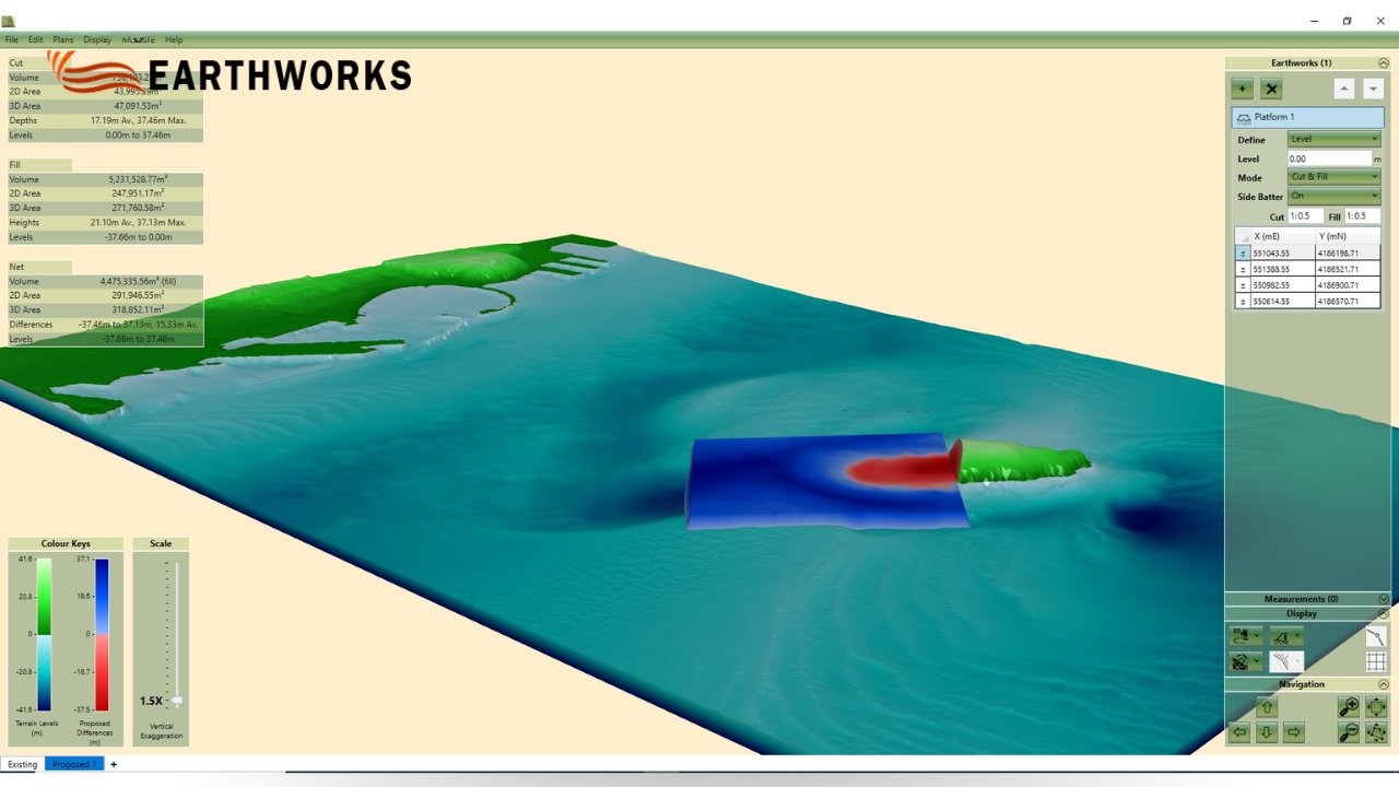
The takeoff stays connected to the digital drawing, with reporting options that include 3D reports, cut-and-fill reports, totals reports, and graphical outputs. This provides visual context alongside the quantities, making the information behind the estimate easier to understand and review.

4.Cut-and-Fill Calculations Take Too Long 

Cut-and-fill estimating is not simply a matter of measuring an area. Estimators need to consider elevations and quantities across the site, and when too much of that work depends on manual calculations, both estimating and review can become more demanding.

Earthworks centres on cut-and-fill takeoffs and provides tools such as auto-balancing, elevation editing, 3D image reports, and cut-and-fill diagrams.

Together, these tools bring measurement, calculation, and visual review into one earthwork estimating workflow.

5.Your Estimators Do Not Follow a Consistent Workflow

Every estimator develops their own habits. That is not necessarily a problem. It becomes one when different processes make estimates harder to review, transfer, or compare. If one person works from a detailed digital takeoff while another relies heavily on spreadsheets, the team may not have a consistent process to follow.

The approach is straightforward: “Easy Import, Easy Trace, Easy Calc, Easy Report.” This gives estimators a clear progression from bringing project drawings into Earthworks through tracing, calculation, and reporting. 

What an Upgraded Estimating Process Looks Like

Upgrading your workflow does not mean throwing away everything that already works. It means taking a closer look at where your team is spending time and reducing repetitive work while making the important parts of estimating easier to see, calculate, update, and review.

A practical process should allow you to:

  1. Import the available project drawings.
  2. Trace or use existing digital linework.
  3. Calculate cut-and-fill quantities.
  4. Edit measurements as project information changes.
  5. Produce reports from the completed takeoff.

This is where a more structured estimating process can help. Earthworks keeps the takeoff centered on the drawings, measurements, calculations, and reports your team uses to build an estimate. 

Is Your Estimating Process Ready for an Upgrade?

Your estimating process does not have to be completely broken before it deserves a closer look. If your team is repeatedly tracing information, rebuilding takeoffs after revisions, checking quantities across spreadsheets, or spending too much time figuring out where a number came from, those signs show that your workflow may need improvement.

At Earthworks, our focus is straightforward: make earthwork takeoffs easier to manage, from importing plans and working with elevations to calculating cut and fill and producing visual reports. If your current process still depends heavily on repetitive manual work, earthworks software can help support a more focused estimating workflow.

READ MORE
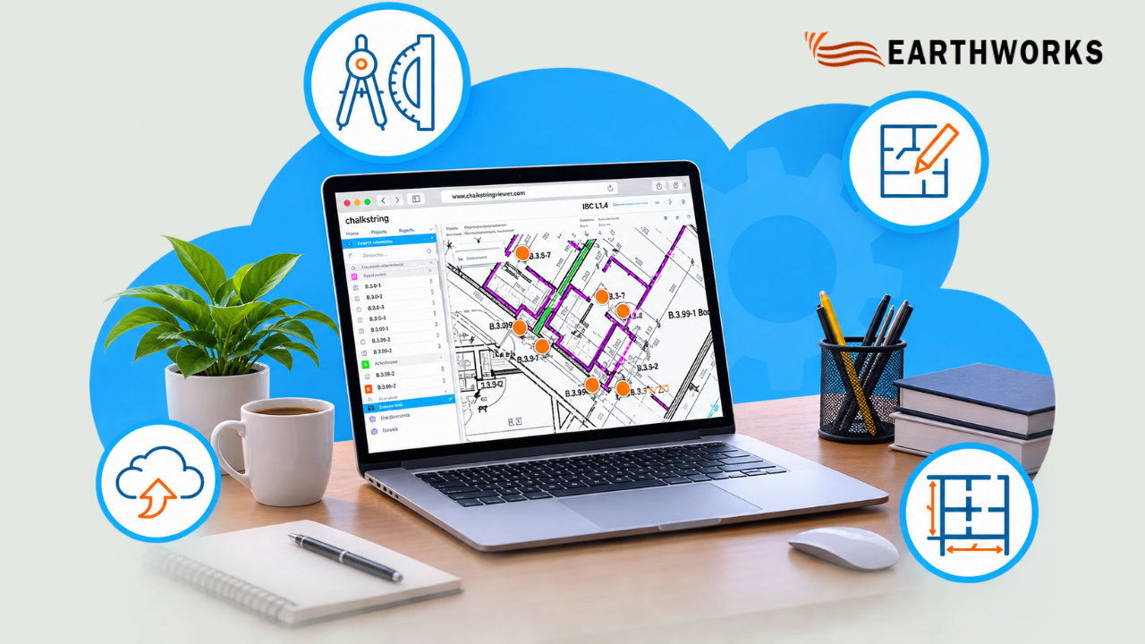
Excavation Estimating Software: 10 Factors That Affect Accuracy

How accurate is your excavation estimate? The final number on your bid sheet usually depends on a lot more than just pulling raw yardage off a set of site plans. Quantities, changing grades, unpredictable soil conditions, equipment choices, labor outputs, haul routes, and physical site limits all shape real costs. Using dedicated excavation estimating software can help keep those moving pieces organized, but your results will always depend on how solid your underlying assumptions are.

Checking these 10 practical factors before finalizing a proposal helps catch missing details and keeps your bidding process consistent.

1.Excavation Quantity

Calculating raw material volume is usually the baseline for any earthwork bid. Estimators pull these numbers from existing contours, proposed elevations, civil cross-sections, and digital takeoffs. Getting this starting figure wrong ripples through your whole estimate—throwing off machine hours, trucking needs, crew sizes, and overall job costs.

Keep a close eye on:

  • Total cut volumes
  • Required fill amounts
  • Site clearing limits
  • Gap between current and final elevations
  • Need for imported select fill

2.Excavation Depth

Does your estimated timeline actually match how deep you need to dig?

Digging two feet down for a shallow slab works very differently than carving out a twelve-foot basement foundation. Deep excavations can change equipment requirements, cycle times, available working space, and the protective measures required for the work. 

Estimates need to reflect the specific depths called out on structural drawings rather than relying on broad, flat-rate averages.

3.Existing and Proposed Grades

How wide is the gap between the current ground and finished grade?

Comparing existing contours against proposed pad elevations shows where material needs to come out, go in, or shift across the site. Getting these elevation differences right is essential for balancing your cut-and-fill math.

Grade changes directly shape:

  • Overall cut and fill calculations
  • Volume of imported fill required
  • Distance dirt travels across the jobsite
  • Daily cycle times for equipment 
  • Final grading hours at the end of the project

4.Soil Conditions

What type of material will your equipment actually be excavating? 

Subsurface conditions can affect excavation methods, equipment wear, production rates, material handling, and disposal requirements. Sandy loam may be easier to excavate, while sticky clay, wet soils, or shallow rock can affect production, material handling, and equipment requirements. 

Checking geotechnical reports and soil borings early helps avoid wildly optimistic production targets.

5.Cut-and-Fill Requirements

Can excavated material be reused on-site, or will it need to be hauled away? 

The balance between cut and fill radically changes job logistics. If excavated material is suitable for reuse as fill elsewhere on the property, trucking and imported material requirements may be reduced. If native soil is poor or contaminated, almost everything has to be hauled off and replaced with clean imported material.

Always evaluate:

  • Designated fill zones on the site plan
  • Soil suitability based on geotechnical reports
  • Expected export volumes
  • Required import quantities
  • Soil compaction and moisture requirements

6.Material Hauling

How far are your trucks traveling, and what is waiting for them on the road?

Calculating haul costs takes more than measuring the distance to the dump site. You have to factor in bucket loading times, local traffic, highway speeds, unloading delays, truck payloads, site turning access, and landfill tip fees.

If haul-time assumptions do not reflect realistic cycle times, the estimate may understate the trucking resources and costs required for the project. 

7.Equipment Selection

Are you pricing the right machinery for the actual job site?

Your equipment lineup needs to fit the dirt volume, digging depth, spatial limits, and target schedule. A large excavator may not be practical in a restricted residential site, while using undersized equipment on a large project can reduce production and extend the expected timeline. 

Instead of plugging in generic machine rates, match bucket sizes, fuel burn, and cycle times directly to the task at hand.

8.Labor and Production Rates

Are your assumed daily output rates grounded in real field performance?

Production rates connect physical quantities to real-world labor costs. Your calculations need to account for crew size, operator skill, machine efficiency, weather delays, and how complex the digging actually is.

Setting overly aggressive daily production targets understates the operator hours and supervisor time needed to wrap up the work.

9.Site Access and Working Conditions

Can your equipment and trucks move around the site efficiently?

Tight entry points, overhead power lines, active utility lines, muddy staging areas, and heavy local traffic slow everything down. Machines end up idling, trucks queue up waiting to load, and work often has to happen in awkward phases.

A site visit, plan review, or available aerial imagery can help identify physical constraints so production assumptions can be adjusted before submitting a bid.

10.Estimating Method and Data Accuracy

Are you managing specs, revisions, and unit costs in a clean, central setup?

Even accurate measurements get confusing when project details are scattered across different spreadsheets and sticky notes. When engineers issue plan addendums, updating numbers manually across multiple files opens the door to copy-paste mistakes.

A structured digital workflow can help organize plans, verify takeoffs, update estimate details, and maintain consistent project data. Specialized excavation estimating software supports this process by keeping takeoff and cost details in one easy-to-manage place.

How Can Contractors Improve Their Excavation Estimates?

No single number guarantees an accurate bid every time. A solid estimate relies on how well you connect the dots between dirt volume, elevations, soil conditions, machine choices, haul logistics, and real site limits.

Earthworks provides digital tools for earthwork takeoffs and cost estimating, including workflows for analyzing plans, calculating quantities, working with cut-and-fill information, and generating reports. Excavation estimating software can also help keep these estimating details organized as project information changes. 

Taking time to review these 10 factors on every bid helps estimators catch hidden costs early, build quotes around real field conditions, and keep their bidding process on track.

READ MORE

How Can Cloud Takeoff Software Improve Modern Construction Estimating?

Construction estimating is no longer centered around a single estimator working from a fixed set of drawings. Multiple revisions, distributed teams, and growing volumes of project information are changing how bids are prepared. Cloud takeoff software is becoming part of this shift, giving estimators a more connected way to work with drawings, quantities, and project information throughout preconstruction.

Modernizing the process, however, is not simply a matter of replacing paper plans with digital files. The bigger shift is how drawings, measurements, revisions, and estimating decisions move through the preconstruction process. 

Is Construction Estimating Still a Standalone Process?

Takeoff may be a distinct task, but it does not operate independently from estimating. The quantities produced during takeoff become part of the decisions that shape the bid. A drawing revision can affect quantities, while a scope clarification may change what needs to be measured. When information is spread across disconnected files and systems, keeping the estimate aligned with the latest project requirements can become more difficult.

A modern workflow connects takeoff more closely with the broader preconstruction process, allowing quantities, revisions, and estimating decisions to remain part of the same process.

How Are Drawing Revisions Affecting Estimating?

Construction drawings can change throughout the bidding process. Estimators may work through revised plans, addenda, specifications, and supporting documents before an estimate is finalized.

That creates an important question: How can estimators keep their work aligned with current project information?

A structured digital workflow gives estimators a clearer way to organize plan sets, review revisions, and determine which measurements may need to be revisited before a bid is finalized. It can also make takeoff information easier to review and update as project requirements change. 

This is particularly important when revisions affect completed measurements. The objective is not simply to digitize drawings but to make project information easier to manage as the estimate develops.

Why Does Accessibility Matter for Estimating Teams?

Estimating is no longer limited to a single workstation or office. Companies may have estimators, preconstruction managers, and other stakeholders working from different locations.

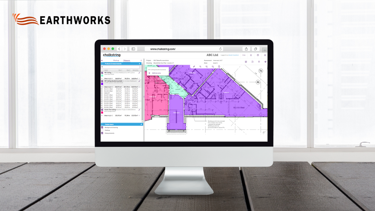
This is where cloud takeoff software can become relevant to the estimating workflow, particularly when project teams need access to drawings and takeoff information from different locations. By providing access to project information through an internet-connected environment, cloud-based tools can give authorized users greater flexibility in how they work.

Consider an estimating team preparing bids for several projects at once. If drawings, measurements, and supporting information are tied to separate workstations, reviewing a project away from the office can introduce unnecessary friction. A cloud-based workflow can give authorized team members access to the same project environment without making a single physical location central to the estimating process. 

Can Technology Support Better Collaboration?

Construction estimating often involves input from multiple people, from estimators and preconstruction managers to project stakeholders reviewing scope and quantities. 

When project information is distributed across email attachments, local folders, spreadsheets, and individual computers, collaboration can depend on manually sharing files.

A centralized digital workflow can give authorized team members a shared view of relevant project information. 

Depending on the platform, this can help teams: 

  • Access current project drawings
  • Review takeoff information
  • Coordinate estimating work
  • Reduce unnecessary file transfers
  • Maintain a more consistent project record

Technology does not replace communication or estimating expertise. It provides a more connected foundation for both.

Does Modern Technology Replace the Estimator?

No. An estimator still needs to interpret drawings, understand scope, identify relevant quantities, review specifications, recognize inconsistencies, and determine how project requirements should influence the bid. 

Digital tools can instead support repetitive and administrative aspects of the process. Measurement tools can help organize quantities, while centralized project environments can make drawings and related information easier to access.

The goal is to support the estimator’s judgment, not replace it.

What Should Contractors Consider When Modernizing?

Choosing estimating technology based solely on the number of features can create unnecessary complexity. Contractors should focus on how well a platform fits the way their estimating teams actually work.

Key questions to consider include:

  • How does the platform handle drawing revisions and version changes?
  • How are measurements created, organized, and updated?
  • Can authorized team members access project information when needed?
  • Does the platform fit the company’s existing estimating workflow?
  • How easily can estimators adopt the technology?

Drawing revisions deserve particular attention. When plans change during preconstruction, estimators need a clear way to identify current documents and determine whether previous takeoff work needs to be reviewed. Contractors should look for a platform that makes that process easier to manage rather than introducing unnecessary complexity. 

How Does Earthworks Support Modern Construction Estimating? 

Modern construction estimating involves more than measuring quantities from drawings. Teams need to manage project information, review changes, collaborate during preconstruction, and move efficiently from takeoff toward an estimate.

Earthworks is designed to support an integrated construction estimating workflow rather than a series of isolated tasks. Its digital takeoff and estimating environment is designed to help construction teams manage the information involved in preparing and developing bids. 

As construction continues to adopt more digital workflows, the focus should remain on making estimating more organized and accessible while preserving the expertise behind every bid.

What Does This Mean for the Future of Estimating? 

The modern estimating workflow is ultimately less about adopting technology for its own sake and more about improving how project information moves from drawings to quantities and, eventually, to a bid.

For contractors evaluating their estimating process, cloud takeoff software can be one component of a more effective approach—provided it fits the team’s workflow and keeps estimator expertise at the center of the process.

READ MORE

What Should Estimators Know Before Using 3D Takeoff Software?

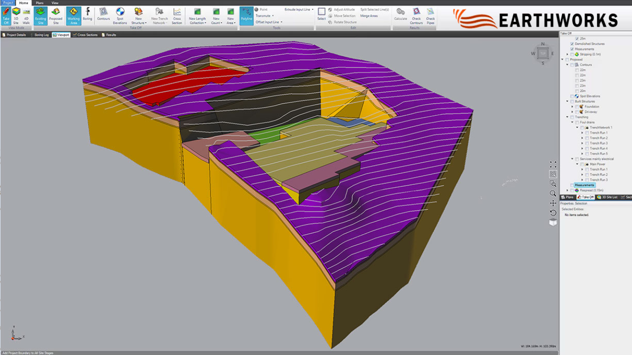
For estimators working on grading, site development, and earthwork projects, developing reliable quantity estimates starts with understanding the terrain. When a project includes multiple surfaces, changing elevations, and detailed site data, working from separate drawings may require estimators to review information across multiple project views. 3D takeoff software gives estimators a way to view project information spatially while measuring the quantities needed for estimating.

But what does that mean in practice? And how can estimators determine whether a 3D workflow makes sense for their projects?

Where Should a 3D Takeoff Start?

Before measuring quantities, estimators need to understand what project information is available and how that information relates to the work being estimated. Plans, terrain data, elevations, contours, and digital design files can all affect the takeoff.

A good starting point is identifying what needs to be measured and which project files contain the relevant information. From there, estimators can review the site digitally and determine where quantities need to be extracted.

This initial review can help answer questions such as:

  • Which existing and proposed surfaces are included?
  • Where do grades or elevations change?
  • Which areas require cut or fill calculations?
  • What quantities are required for the estimate?
  • Which files represent the latest project revision?

These checks help keep the takeoff focused on the information needed for the estimate.

How Is a 3D Takeoff Different From a 2D Workflow?

A 2D takeoff requires estimators to interpret measurements across plan sheets, sections, and other project views. That approach can work well for straightforward measurements, but complex terrain may require information from several drawings to understand how surfaces relate to one another.

A 3D workflow adds a spatial view of the project. Instead of reviewing elevations and measurements separately, estimators can examine the relationship between surfaces, grades, and site elements within the same digital environment.

Why Does 3D Matter for Earthwork Quantities?

Earthwork estimates often depend on the relationship between existing and proposed conditions. A change in elevation can affect how much material needs to be removed, placed, or moved across a site.

A 3D view can help estimators examine those relationships more clearly before quantities are carried into the estimate. This is especially relevant when projects involve sloped terrain, multiple surfaces, or substantial grading work.

How Can Estimators Work With Complex Site Data?

Not every site can be understood from a single plan view. Slopes, elevation changes, irregular boundaries, and multiple surfaces can all affect how quantities are interpreted.

With 3D takeoff software, estimators can work with digital representations of the project to examine areas and surfaces more closely.

Depending on the software and project data, a 3D workflow may help estimators evaluate:

  • Existing and proposed grades
  • Cut and fill areas
  • Surface elevations
  • Distances and areas
  • Earthwork quantities
  • Changes between surfaces

The practical value can come from connecting the visual model with the measurements required for the estimate.

What Happens When Project Plans Change?

Construction plans rarely remain unchanged from the first drawing to the final bid. Grading adjustments, revised site layouts, and updated surfaces can all change the quantities an estimator needs to review.

A digital takeoff workflow can make it easier to identify which parts of the takeoff need another look after a revision. Rather than treating every updated drawing as a completely new takeoff, estimators can focus on the surfaces, measurements, and quantities affected by the change.

For estimating teams handling multiple versions of project data, that organization can be just as important as the initial measurement.

How Can 3D Takeoff Data Support the Estimating Process?

Takeoff is only one part of the bidding process. Once quantities have been measured, estimators need to organize that information and use it to build the estimate.

Connecting takeoff data with the broader estimating workflow can help limit duplicate data entry and provide a clearer path from measured quantities to bid preparation. The exact workflow depends on the tools being used, but keeping project data connected can help teams work more consistently.

However, software does not replace estimating expertise. Teams still need to understand the project, verify measurements, review assumptions, and determine which quantities belong in the final estimate.

The goal is to give estimators better tools for carrying out that work.

When Does a 3D Takeoff Workflow Make the Most Sense?

The key is to choose a workflow that matches the complexity of the project and the way your estimating team works. 3D takeoff software can be particularly useful for projects involving detailed terrain, multiple surfaces, grading changes, and earthwork quantities.

For teams looking to connect takeoff work with the broader estimating process, Earthworks brings estimating and takeoff into a connected digital workflow, helping teams work with project data, quantities, and bid preparation.

READ MORE

Is Digital Takeoff Software Worth It? A Construction Estimator’s Decision Guide

Construction estimating requires precision, attention to detail, and efficient workflows. But as projects become more complex, many teams find that manual measurements, spreadsheets, and disconnected processes can slow down their ability to prepare accurate bids. Digital takeoff software for construction can help estimators organize measurements, review project drawings, and manage quantity calculations through a more structured digital workflow.

However, investing in new technology requires careful consideration. Is it the right solution for your team? What challenges can it address? And what should construction professionals evaluate before making the transition?

This guide answers the key questions estimators should ask before choosing a digital takeoff solution.

Are Your Current Takeoff Methods Creating Delays?

Before considering new software, it is important to review your current estimating process. Many construction teams continue using traditional methods because they are familiar and have worked for years.

However, as projects increase in size and complexity, certain challenges may become more noticeable.

Common signs your workflow may need improvement include:

  • Spending excessive time measuring drawings
  • Repeating calculations after design updates
  • Managing information across multiple files
  • Reviewing different versions of project documents
  • Having limited time to complete estimates before deadlines

These challenges may make it more difficult for some teams to maintain a consistent estimating process.

What Challenges Come With Traditional Construction Takeoffs?

Manual takeoffs require experience and careful attention. Estimators must review drawings, identify quantities, record measurements, and organize information before creating an estimate.

A traditional workflow often includes:

  • Reviewing project plans manually
  • Measuring areas, lengths, and quantities
  • Recording information separately
  • Updating calculations when changes occur

While skilled estimators can manage these tasks effectively, manual processes may become more demanding when handling multiple projects or frequent revisions.

How Can Digital Takeoff Tools Improve the Estimating Process?

Modern construction teams are looking for ways to create more organized workflows without removing the expertise of experienced estimators.

Digital solutions can provide tools that allow teams to:

  • Work directly with digital drawings
  • Create organized measurement records
  • Review project details more efficiently
  • Update information when plans change
  • Reduce repetitive administrative tasks

The goal is to make estimating processes easier to manage while giving teams better visibility into project information.

How Can Digital Takeoff Software for Construction Support More Organized Workflows?

Estimating involves more than measuring quantities. Teams must also review project requirements, manage revisions, and communicate information clearly.

Digital takeoff software for construction allows estimators to work within a centralized digital environment where drawings, measurements, and project details can be managed in one place.

This approach can help teams:

  • Keep takeoff information organized
  • Reduce time spent switching between documents
  • Review measurements more easily
  • Maintain clearer project records

By supporting a more organized workflow, digital tools may allow estimators to spend more time reviewing project requirements rather than managing repetitive processes.

Can Digital Takeoff Tools Make Handling Revisions Easier?

Construction projects rarely remain unchanged from the initial planning stage. Updated drawings, modified specifications, and scope adjustments can require estimators to revisit previous calculations.

A structured digital workflow can provide a more organized way to manage these updates.

Teams can benefit from:

  • Faster review of updated plans
  • Better tracking of measurement changes
  • More organized project documentation
  • Easier communication between team members

Having a clearer revision process may help teams manage changes when project details evolve.

Who Can Benefit From a Digital Takeoff Workflow?

Digital takeoff solutions can be useful for various construction professionals involved in estimating and project planning.

They may benefit:

  • General contractors preparing project bids
  • Estimators managing multiple opportunities
  • Earthwork professionals handling detailed measurements
  • Construction companies improving internal processes
  • Teams looking for better project organization

The right approach depends on project requirements, team workflows, and business goals.

What Should You Consider Before Choosing Takeoff Software?

Selecting the right software requires more than comparing features. Construction teams should consider how the solution fits into their daily operations.

Key factors include:

1.Ease of Adoption

A tool should be practical for estimators and teams using it regularly.

2.Measurement Capabilities

Reliable measurement features are essential for reviewing quantities and preparing estimates.

3.File Compatibility

The software should support the types of drawings and project documents your team commonly uses.

4.Collaboration Options

Teams should consider how easily project information can be shared and reviewed.

5.Workflow Fit

An effective solution should support existing processes without creating unnecessary complexity.

Is It Time to Rethink Your Construction Estimating Process?

Choosing whether to adopt new technology depends on your current workflow, project demands, and long-term objectives. For teams managing detailed plans, multiple estimates, and frequent updates, improving the takeoff process can create a more organized approach to project planning.

Digital takeoff software for construction represents a shift toward more connected estimating workflows, giving teams additional tools to manage project information with greater structure and consistency. The right technology choice can support planning efforts while allowing estimators to focus on their expertise when making project decisions.

READ MORE

Excavation Software: 7 Planning Mistakes Contractors Should Avoid

Before an excavator reaches the job site, contractors have already made decisions that can determine whether a project stays on schedule or faces costly delays. Inaccurate quantity estimates, outdated plans, and inefficient workflows can create challenges that affect budgets, timelines, and productivity. For contractors managing complex earthwork projects, excavation software can help contractors review project information, support planning processes, and better understand project requirements before construction begins.

Excavation is not simply about moving material from one location to another. It requires careful coordination of site conditions, earthwork quantities, equipment requirements, and project schedules. Avoiding common planning mistakes can help contractors create more organized workflows and better prepare for potential challenges during construction.

Why Can Poor Excavation Planning Delay Construction Projects?

Excavation planning influences nearly every stage of an earthwork project. A mistake made during estimating or preparation can create larger issues once crews and equipment are already committed.

Common consequences of poor planning include:

  • Incorrect project bids
  • Unexpected material requirements
  • Inefficient equipment usage
  • Additional hauling costs
  • Delays caused by rework

By identifying potential challenges before construction begins, contractors can make better decisions and improve project efficiency.

1. Estimating Projects Without Accurate Earthwork Quantities

Accurate quantities are essential for preparing reliable excavation estimates. When contractors rely on incomplete information or manual calculations, they may underestimate the true scope of work.

Quantity errors can impact:

  • Project bids
  • Material planning
  • Equipment requirements
  • Overall project costs

Even a small difference between estimated and actual quantities can affect project performance. Reviewing accurate earthwork data before bidding helps contractors evaluate project requirements and prepare more informed estimates.

2. Ignoring Cut-and-Fill Balance During Project Planning

Cut-and-fill calculations help contractors determine how material will be moved across a site. Without proper analysis, teams may encounter unexpected challenges after excavation begins.

Poor cut-and-fill planning can result in:

  • Excess material removal
  • Additional fill requirements
  • Longer hauling distances
  • Delays in grading activities

Understanding earthwork balance early helps contractors plan material movement more effectively and minimize unnecessary work.

3. Starting Excavation With Outdated Site Information

Construction projects often change before work begins. Design updates, revised specifications, and changing site conditions can affect excavation requirements.

Using outdated information may lead to:

  • Incorrect takeoffs
  • Miscalculated quantities
  • Unnecessary rework
  • Delayed decisions

Keeping project data accurate and accessible allows teams to work from the most current information throughout the planning process.

4. Failing to Plan Material Movement and Equipment Needs

Efficient excavation requires more than knowing how much material needs to be moved. Contractors also need to understand where materials will go and how equipment will support the workflow.

Poor planning may create:

  • Increased hauling time
  • Equipment downtime
  • Scheduling conflicts
  • Reduced productivity

Planning material movement before work begins helps contractors coordinate resources and address potential disruptions more effectively.

5. Creating Gaps Between Estimating Teams and Field Operations

Excavation projects often involve multiple teams working with estimates, drawings, quantity calculations, and project updates. When information is spread across separate systems, maintaining accuracy becomes more difficult.

Disconnected workflows can lead to:

  • Conflicting project information
  • Repeated calculations
  • Missed updates
  • Communication gaps

Earthworks supports contractors with tools designed to help manage takeoffs, quantity analysis, and project planning workflows.

6. Discovering Planning Issues After Equipment Is Mobilized

Some excavation challenges only become visible after crews and equipment are already on-site. At that point, making adjustments can affect schedules and increase project costs.

Early planning reviews can help contractors identify potential issues related to:

  • Site requirements
  • Material quantities
  • Grading needs
  • Equipment planning

Identifying these challenges earlier can give teams more time to evaluate possible adjustments.

7. Relying on Manual Workflows for Complex Earthwork Projects

Manual spreadsheets and traditional processes may become difficult to manage as excavation projects become larger and more detailed. Tracking quantities, updating estimates, and reviewing project changes manually can slow down decision-making.

Modern digital solutions allow contractors to analyze project information more efficiently. The right excavation software can help teams review requirements, support estimating workflows, and manage project details in a more organized way.

How Can Better Planning Improve Excavation Project Outcomes?

Successful excavation projects depend on preparation long before equipment reaches the site. By avoiding common planning mistakes, contractors can reduce disruptions, improve coordination, and create smoother project workflows.

As excavation projects become more complex, digital tools can provide valuable support throughout the planning process. By adopting excavation software, contractors may be able to take a more organized approach to estimating, analyzing, and managing earthwork requirements.

Better excavation outcomes start before the first load of material is moved. With a more organized planning process, contractors can improve estimating confidence, prepare for potential challenges, and approach projects with clearer information.

READ MORE

5 Ways Civil Construction Estimating Software Helps Contractors Improve Project Accuracy

Civil construction projects require accurate planning, cost control, and detailed estimates to stay on track. Contractors managing complex projects need a reliable way to calculate quantities, evaluate costs, and prepare bids without relying on time-consuming manual processes. Civil construction estimating software helps streamline these tasks by supporting more accurate estimates, reducing manual calculation risks, and making project information easier to manage.

Earthworks supports construction professionals by helping them create more organized estimating workflows and access the information needed during the planning stage. With the right tools, contractors can improve project visibility, manage resources effectively, and approach each project with greater confidence.

How Does Estimating Software Improve Project Accuracy?

Every civil construction project begins with an estimate. Before equipment arrives and work starts, contractors need to understand the expected costs, materials, labor requirements, and potential challenges.

An accurate estimate helps teams:

  • Prepare realistic project budgets
  • Create competitive bids
  • Plan resources effectively
  • Identify potential cost concerns early

When estimates are inaccurate, contractors may face budget issues, delays, or unexpected changes during construction. A structured estimating process helps minimize estimating challenges and provides a clearer picture of what a project requires.

How Does Civil Construction Estimating Software Improve Project Accuracy?

Manual estimating can become difficult when projects involve multiple components, detailed measurements, and changing requirements. Digital estimating tools help contractors manage these challenges more effectively.

Here are five ways estimating software helps improve project accuracy.

1. How Does Estimating Software Reduce Calculation Errors?

Construction estimates often involve large amounts of data. Small mistakes in quantities, measurements, or pricing can impact the overall project budget.

Estimating software helps reduce these risks by creating a more organized calculation process.

Contractors can:

  • Maintain consistent estimating methods
  • Reduce repetitive manual calculations
  • Review project details more efficiently
  • Make updates without starting over

By improving accuracy during the estimating stage, contractors can create stronger project plans before construction begins.

2. Can Estimating Software Make Bid Preparation Easier?

Preparing a construction bid requires careful analysis of project requirements, costs, and resources. When information is spread across multiple files, creating accurate bids can take more time.

Digital estimating solutions help simplify this process by keeping important project details organized.

This allows contractors to:

  • Prepare estimates faster
  • Adjust bids when requirements change
  • Review costs more effectively
  • Respond to project opportunities quickly

A smoother bidding process helps contractors organize proposal information and prepare more consistent submissions.

3. How Does Better Estimating Help Control Project Costs?

Cost management starts before construction begins. Without a clear understanding of expenses, contractors may struggle to maintain project budgets.

Accurate estimating helps teams understand:

  • Material requirements
  • Labor needs
  • Equipment usage
  • Expected project expenses

Using civil construction estimating software allows contractors to organize cost information and create more reliable estimates. This improved visibility helps teams plan resources more effectively and better anticipate potential cost considerations during the project.

4. Does Estimating Software Improve Team Collaboration?

Civil construction projects involve multiple teams working together. Estimators, project managers, engineers, and field teams all need access to accurate project information.

A centralized estimating workflow helps keep everyone aligned.

Better collaboration allows teams to:

  • Work with updated project details
  • Share information more easily
  • Reduce communication gaps
  • Make decisions based on accurate data

When teams have access to consistent information, project planning becomes more efficient.

5. How Does Estimating Software Support Better Project Planning?

Estimating is not only about calculating costs. It also helps contractors understand how a project should be planned and executed.

Accurate estimates provide insights into:

  • Required resources
  • Project timelines
  • Material planning
  • Potential challenges

With better information available early, contractors can create more realistic strategies and prepare their teams for successful project delivery.

How Can Earthworks Help Contractors Improve Their Estimating Process?

Earthworks helps construction professionals improve their estimating workflows by providing tools that support better project organization and planning. Instead of managing scattered information and manual calculations, contractors can use a more structured approach to handle project data.

The right estimating solution allows teams to spend less time managing repetitive tasks and more time focusing on project decisions. Whether preparing bids, reviewing quantities, or planning resources, an efficient workflow can make the estimating process more effective.

Building More Efficient Estimating Workflows

Accurate estimates create a stronger foundation for successful construction projects. When contractors have reliable information from the beginning, they can manage costs, resources, and timelines more effectively.

Using civil construction estimating software helps construction teams create more organized estimates, simplify workflows, and support better project decisions. With Earthworks in San Diego supporting the estimating process, contractors can take a more organized approach to planning and managing their projects.

READ MORE

Cut and Fill Software for Earthworks | Site Planning Tool

Cut and Fill Software: How It Improves Site Accuracy 

Earthworks projects often look straightforward from the outside—move soil, level ground, and prepare the site. But is it really that simple when every cubic meter of material affects cost, design, and timelines? This is exactly where cut and fill software becomes essential for Earthworks, helping teams plan, measure, and balance site volumes with far greater accuracy before construction begins.

So what makes this process so important in modern land development, and why are more projects relying on it than ever before?

What Is Cut and Fill in Earthworks? 

Have you ever looked at a sloped site and wondered how it becomes a flat construction zone?

That transformation happens through cut and fill operations.

In simple terms:

  • Cut means removing excess soil from higher areas
  • Fill means using that soil to raise lower areas

The goal is to balance the site so minimal material is wasted or transported externally.

In Earthworks projects, this balancing act is critical because:

  • It reduces hauling costs
  • It minimizes environmental impact
  • It speeds up construction timelines

Without accurate planning, even a small imbalance can create major cost overruns.

Why Accuracy Matters in Earthworks Planning 

Here’s a question most project managers eventually face: What happens if your soil volume estimates are wrong?

The answer is simple—everything becomes expensive.

Earthworks projects deal with natural material, and natural material is unpredictable. Soil behaves differently depending on:

  • Moisture content
  • Compaction levels
  • Terrain conditions
  • Excavation depth

Even a slight miscalculation can lead to:

  • Too much soil being moved off-site
  • Unexpected material shortages
  • Delays in grading and leveling
  • Increased machinery usage

This is why modern teams depend on cut and fill software instead of manual calculations. It brings precision into a process that used to rely heavily on estimates and experience alone.

How Cut and Fill Software Works 

So how does a digital tool understand something as physical as land?

It all starts with data.

The software typically uses:

  • Topographic survey data of the existing site
  • Design models of the proposed surface
  • Elevation points and contour maps

Then it compares the two surfaces and calculates differences in volume.

But what does that actually show you?

It reveals:

  • How much soil needs to be removed
  • How much needs to be added
  • Whether the site has a cut or fill surplus
  • How balanced the final design is

Instead of guessing, engineers get a visual breakdown of the entire site.

This is why cut and fill software has become a core planning tool in Earthworks rather than just an optional upgrade.

Common Problems in Earthworks Projects 

Let’s break it down practically. What goes wrong on a site without proper planning?

Common challenges include:

  • Over-ordering or under-ordering soil
  • Inefficient truck routing
  • Rework due to incorrect grading
  • Budget overruns from poor estimation

Now here’s the important question—how does software fix this?

It helps by:

  • Simulating earth movement before work starts
  • Highlighting imbalances early in the design phase
  • Optimizing cut and fill distribution across the site
  • Reducing unnecessary hauling and machine time

In short, it turns guesswork into a controlled, measurable process.

Key Benefits of Cut and Fill Software 

Why are so many contractors shifting to digital planning tools?

Because the benefits are practical, not theoretical:

Faster planning cycles – what once took days can now take hours

Improved cost control – fewer surprises during execution

Better resource allocation – machines and labor are used efficiently

Reduced waste – soil is reused instead of discarded

Clear reporting – easy communication between teams and stakeholders

For Earthworks teams, this means fewer delays and more predictable outcomes on site.

Who Uses Cut and Fill Software?

Is this only for large infrastructure companies?

Not at all.

Cut and fill planning tools are widely used by:

  • Civil engineers
  • Surveyors
  • Site planners
  • Infrastructure developers
  • Land development contractors

Whether it’s a highway project or a housing development, the need for accuracy remains the same. Even within Earthworks operations, such planning approaches improve execution quality and reduce operational risks across projects. 

Why Earthworks Is Moving Toward Digital Planning 

Modern construction is changing. Faster timelines, tighter budgets, and higher expectations mean there is little room for error.

So why is digital planning becoming standard practice?

Because it delivers:

  • Predictability in project execution
  • Better coordination between design and field teams
  • Reduced financial risk
  • Stronger decision-making based on data

This is exactly where cut and fill software plays an important role in Earthworks operations—it helps connect design intent with on-site execution in a measurable way.

Manual Estimation vs Software-Based Planning 

Manual estimation still exists in Earthworks, but it comes with clear limitations when compared to digital planning tools. 

These methods may still work for:
  • Small landscaping jobs
  • Simple grading tasks
  • Low-complexity sites

But when projects scale up, the risks increase significantly.

Manual estimation struggles with:
  • Complex terrain modeling
  • Large volume calculations
  • Real-time design changes

That’s why most modern Earthworks teams now treat digital tools as a necessity rather than an option.

Final Thoughts

Earthworks is no longer just about moving soil—it’s about managing land intelligently, efficiently, and with precision. When every cubic meter matters, planning becomes just as important as execution.

That’s why cut and fill software has become a core part of modern Earthworks workflows. It reduces uncertainty, improves decision-making, and ensures that what is designed on paper can be built on site with confidence.

In the end, better planning doesn’t just save time—it improves the quality and reliability of the final site outcome.

READ MORE

Cloud Takeoff Software for Earthworks | Smarter Estimating

Cloud Takeoff Software for Earthworks: Smarter Estimating Starts Here 

At Earthworks, we’ve seen how quickly construction estimating is changing. Projects are getting larger, timelines are tighter, and accuracy is more critical than ever. That’s exactly why we’ve started focusing on smarter digital tools like cloud takeoff software. It’s not just a technology upgrade—it’s a shift in how we approach planning, measurement, and execution.

Instead of relying on scattered files, manual calculations, and time-heavy revisions, cloud-based systems allow teams to work from a single, live environment. For us, that shift is already helping us improve how efficiently we support project planning from the ground up.

But what does this really mean in practical terms?

Why Estimating Needs a Smarter System Today

Estimating in construction—especially earthworks—isn’t simple. Every project involves shifting volumes, design changes, and unpredictable site conditions. Traditional methods often struggle to keep up.

At Earthworks, we kept seeing the same issues repeat:

  • Drawings being updated but not shared on time
  • Manual quantity takeoffs taking too long
  • Small errors multiplying into large cost differences
  • Teams working on different versions of the same file

So we started asking a simple question:

Is there a better way to ensure accuracy without slowing everything down?

That’s where digital transformation—and specifically cloud takeoff software—comes into play.

What Cloud Takeoff Software Means for Earthworks

For us, cloud takeoff software is more than just a digital tool. It’s a connected workspace where project drawings, measurements, and estimates all exist in one place.

Instead of downloading files or working offline, our team can:

  • Access live project drawings from anywhere
  • Measure quantities directly from updated plans
  • Collaborate in real time with other team members
  • Reduce duplication and version confusion

This matters because earthworks estimation depends heavily on precision. A small error in cut and fill calculations can significantly affect material planning, equipment usage, and overall cost.

How It Improves Accuracy in Earthworks Projects

One of the biggest advantages we’ve experienced is improved consistency in measurements. When multiple people work on the same project, alignment becomes easier because everyone is using the same live data.

This is especially important in earthworks, where we deal with:

  • Excavation and fill volume calculations
  • Site grading and leveling plans
  • Material movement estimates
  • Haul distance and logistics planning

Using cloud takeoff software, we can update quantities instantly when drawings change, instead of starting the process from scratch. That alone saves significant time and reduces the chance of human error.

So the real question becomes:

How much rework can be avoided when updates happen in real time?

In our experience—quite a lot.

Impact on Project Cost and Efficiency

Better estimating doesn’t just improve accuracy—it directly impacts project performance.

With the help of cloud takeoff software, many workflows can see improvements in:

  • More accurate bidding and proposals
  • Reduced material waste from incorrect estimates
  • Better planning for equipment usage
  • Reduced risk of unexpected cost escalations 
  • Faster turnaround from design to execution

In earthworks projects where margins depend heavily on material movement efficiency, these improvements matter significantly. Even small gains in estimation accuracy can potentially lead to improved financial outcomes over the lifecycle of a project. 

Earthworks’ Perspective on Smarter Estimating 

The construction industry is moving toward faster, more data-driven decision-making, and earthworks estimating is no exception. We’ve reached a point where traditional manual processes alone are no longer enough to support modern project demands.

At Earthworks, we see cloud takeoff software as part of a broader shift toward smarter, more reliable estimating. It helps us reduce uncertainty, improve collaboration, and deliver more consistent project outcomes.

The goal isn’t to replace expertise—it’s to support it with better tools.

And as projects continue to grow in complexity, that combination of human experience and digital precision is becoming the new standard.

FAQs

1.What is cloud takeoff software?

It is a digital tool used to measure quantities from construction drawings stored online for faster and more accurate estimating.

2.How does cloud takeoff software help Earthworks projects?

It improves accuracy in cut and fill calculations, reduces manual errors, and speeds up the estimation process.

3.Can teams work together on the same project?

Yes, multiple users can access and work on the same live project from different locations in real time.

4.Is cloud takeoff software difficult to use?

No, most systems are designed with simple interfaces and require minimal training to get started.

5.Does it improve project cost estimation?

Yes, it supports more accurate estimates and may help reduce waste, rework, and unexpected project costs.

READ MORE

Excavation Software | Earthworks for Accurate Quantity Takeoffs

What Is Excavation Software and How Does It Improve Takeoffs?

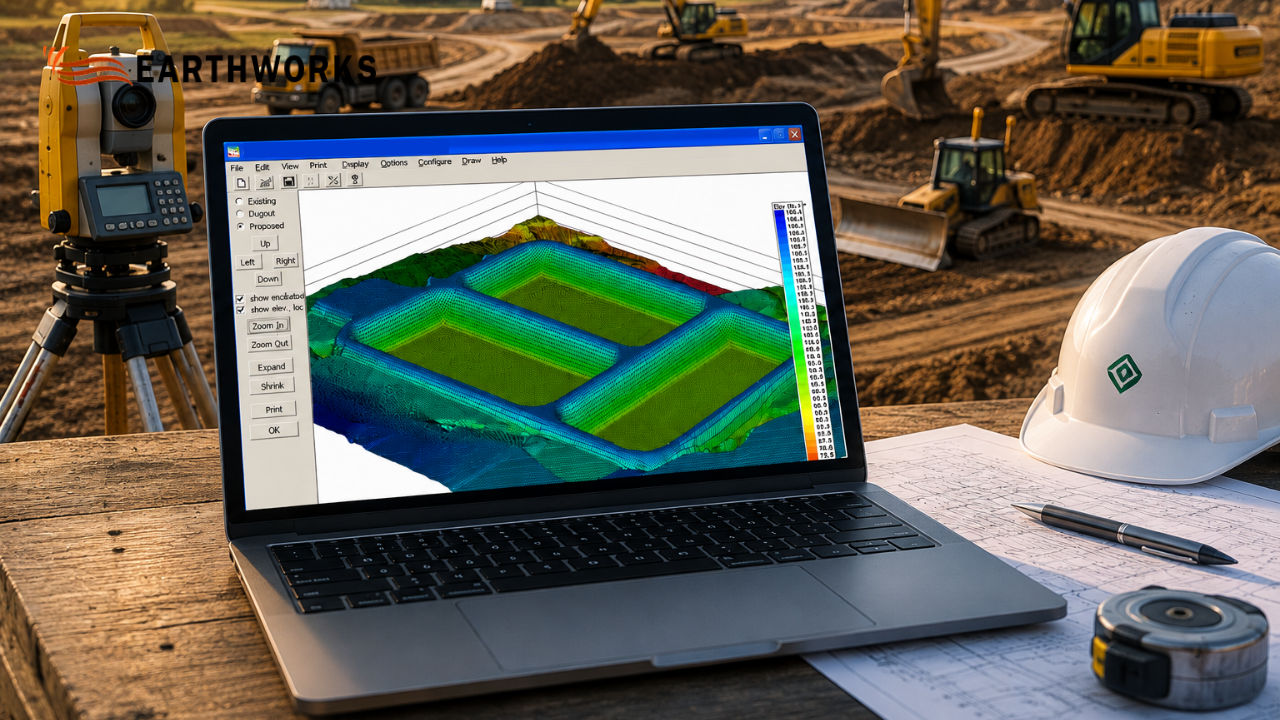
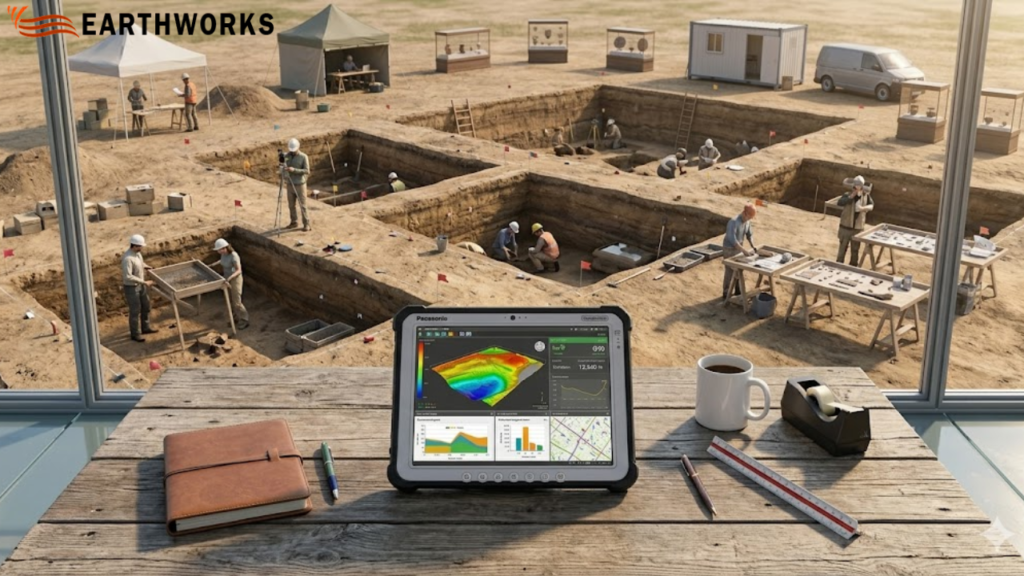
Excavation software displaying digital takeoff data and quantity estimates for an active excavation project site

At Earthworks, we focus on solving one of the most time-sensitive problems in construction estimating—turning drawings into accurate earthwork quantities without unnecessary delays or manual errors.

That’s why excavation software sits at the core of how Earthworks helps contractors, estimators, and civil teams move from project drawings to reliable cut-and-fill calculations in a faster, more controlled way.

Instead of spending hours tracing plans or building spreadsheets from scratch, Earthworks is designed to streamline the estimating process using structured digital takeoffs directly from PDF and CAD files.

The result is simple: clearer quantities, faster turnaround, and more consistent estimates.

Built for real estimating challenges in construction

Earthworks is designed specifically for excavation takeoffs and earthwork estimation workflows. It focuses on accuracy at the earliest stage of project planning—where most cost and time risks begin.

With Earthworks, users can:

  • Import PDF and CAD drawings for direct measurement
  • Perform digital excavation takeoffs on plan surfaces
  • Generate cut, fill, and net volume calculations
  • Reduce manual tracing and spreadsheet dependency
  • Work with structured, repeatable estimating workflows

Everything is built around improving speed and consistency in earthwork estimation.

How excavation software improves estimating accuracy

Traditional excavation estimating depends heavily on manual interpretation, which often leads to variation between estimators and repeated corrections later in the process.

Using digital tools, design drawings are converted into measurable surfaces. 

This allows users to:

  • Measure volumes directly from design files
  • Compare existing and proposed surfaces with precision
  • Automatically calculate cut, fill, and net quantities
  • Reduce interpretation errors from scaled drawings
  • Update quantities quickly when plans are revised

By linking every calculation directly to the drawing, Earthworks reduces uncertainty in early-stage estimating.

Why accuracy matters in excavation takeoffs

In construction estimation, even small errors can scale into significant cost differences across an entire project.

Common issues Earthworks helps reduce include:

  • Inconsistent manual measurements
  • Errors from scaling or drawing interpretation
  • Repetitive recalculation during revisions
  • Variations between estimators
  • Time lost in rework and correction cycles

Earthworks is designed to bring consistency to a process that is traditionally fragmented across tools and spreadsheets.

A structured workflow designed for clarity

Earthworks is built to keep the estimating process simple, structured, and repeatable.

A typical workflow includes:

  • Uploading project drawings (PDF or CAD)
  • Defining site surfaces for measurement
  • Running excavation and fill calculations
  • Reviewing cut, fill, and net results
  • Updating takeoffs when drawings change

This structured approach helps reduce unnecessary complexity and keeps estimation focused on output accuracy.

Reducing estimation risk with better data control

One of the key advantages of Earthworks is improved control over estimating data.

With digital tools, teams can: 

  • Maintain consistency across multiple estimates
  • Reduce manual calculation errors 
  • Ensure updates reflect across all quantities
  • Standardize reporting outputs
  • Support more consistent and reliable bid preparation 

This level of control helps reduce risk during early project planning, where accuracy has the highest financial impact.

Why contractors and estimators use Earthworks

Earthworks is designed for professionals who need reliable earthwork quantities without spending excessive time on manual processes.

Teams choose Earthworks for:

  • Faster digital takeoffs compared to manual methods
  • Reduced reliance on spreadsheets and manual tracing
  • Clear, structured earthwork estimation workflow
  • Easy handling of drawing revisions
  • Focused functionality for excavation estimating only

It is built to support estimating teams that prioritize speed, accuracy, and repeatability.

Trust and reliability in estimating workflows 

Earthworks is developed around a principle of measurable accuracy—helping ensure outputs are based directly on source drawings rather than manual interpretation. 

This improves:

  • Experience: Built around real-world estimating workflows
  • Expertise: Focused on excavation and earthwork takeoffs
  • Authority: Designed specifically for construction estimating use cases
  • Trust: Transparent, drawing-based measurement system

Keeping calculations grounded in design data helps improve clarity in early-stage project estimates. 

Where excavation software is heading in construction

The estimating process in construction is rapidly becoming more digital and data-driven.

With digital excavation tools, the industry is moving toward:

  • Faster, more repeatable digital takeoffs
  • Reduced reliance on manual measurement workflows 
  • More consistent quantity forecasting 
  • Standardized estimating outputs across teams
  • Improved handling of drawing revisions

Earthworks fits into this shift by focusing strictly on excavation and earthwork estimation workflows.

Final thoughts

Earthworks in San Diego is built to help construction teams produce faster, more accurate excavation takeoffs.

Replacing manual measurement with structured digital workflows improves consistency in quantity calculations and reduces time spent on repetitive estimating tasks.

From design drawings to earthwork quantities, the process becomes clearer, faster, and more reliable—giving teams greater confidence in every estimate.

For modern construction estimating, that clarity is not just helpful—it’s essential.

READ MORE
Seraphinite AcceleratorBannerText_Seraphinite Accelerator
Turns on site high speed to be attractive for people and search engines.